Google Maps で行政区域が表示されるようになっています。(thanks Lifehacking.jp)
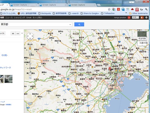
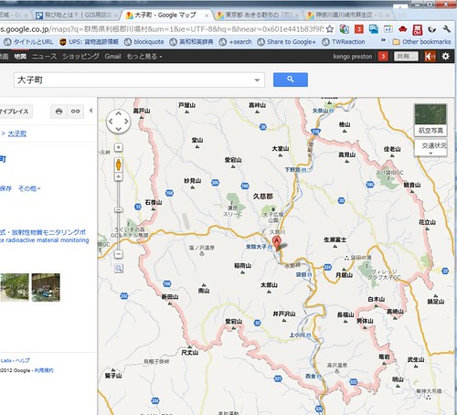
東京都とか小平市とか
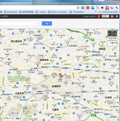
武蔵野市とかで検索すると、枠で囲まれます。
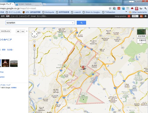
もちろん外国の都市でも大丈夫です。
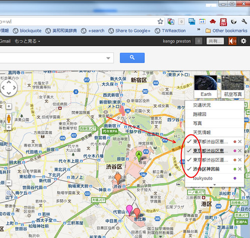
うまく表示されない場合は右上の地図の表示から、チェックを入れてあげると表示されます。近づいていくときは、グレーの点線ですが、ちょっと拡大して範囲を広げてあげるとピンクの枠で囲まれていく感じです。
実際に枠の表示がどうなるかは、ScreenCast 西て見ましたのでこれで見てもらえると分かりやすいです。
なかなかさり気なく便利な機能です。
→ このエントリーを Google+ で Share する
Google+ やっています。
kengo preston - Google+
Twitter はこちら
Follow @kengo


0 件のコメント:
コメントを投稿